User Tools
Sidebar
japan:tokyo_hiking:tanzawa_nabewariyama
鍋割山/Nabewariyama trip
operating instructions
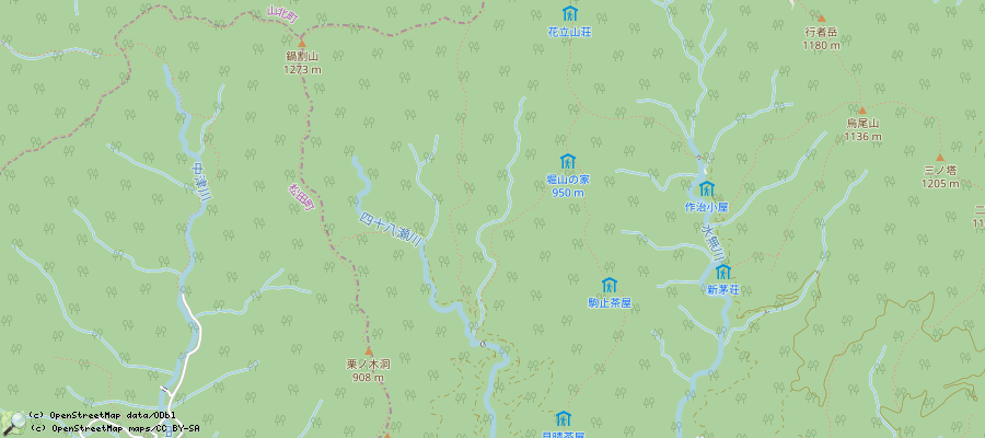
Various functions are available as part of the map.
mouse/touch operation
- moving by grabbing the map with a mouse-click you can move the map around
- overview map using the < button in the bottom right of the map you can expand an overview map
- zooming in and out using the + and - buttons in the top left of the map you can obtain more or less detail in the map
- switching themes or maps clicking on the ≡ icon on the right-hand side of the map you can view and select available maps and themes
- retrieving information the map may contain elements that contain more information, by clicking these a popup will show this information
- fullscreen display using the ⛶ button the map can be maximized to fullscreen display, use the ▢ button to return to page display.
keyboard operation
Keyboard operation becomes available after activating the map using the tab key (the map will show a focus indicator ring).
- moving using the arrow keys you can move the map
- overview map using the + button in the bottom right of the map you can expand an overview map
- zooming in and out using the + and - buttons in the top left of the map or by using the + and - keys you can obtain more or less detail in the map
- switching themes or maps clicking on the ≡ icon on the right-hand side of the map you can view and select available maps and themes
- retrieving information the map may contain elements that contain more information, using the i key you can activate a cursor that may be moved using the arrow keys, pressing the enter will execute an information retrieval. press the i or the escape key to return to navigation mode
- fullscreen display using the ⛶ button the map can be maximized to fullscreen display, use the ▢ button to return to page display.
It's possible that some of the functions or buttons describe above have been disabled by the page author or the administrator

| id | symbol | latitude | longitude | description |
|---|---|---|---|---|
| 鍋割山/Nabewariyama trip trip | ||||
 |
 |
GPX track: track2019-11-30 鍋割山 | ||
鍋割山/Nabewariyama trip details
- From Tokyo, take the train to Shibusawa-station/渋沢駅
- from there, 10-15min bus to 大倉 busstation ('大倉(バス)' in google maps)
- from there, 2.5 to 3.5h of walking to the summit, 鍋割山. The famous うどん is sold there, sometimes with a long queue.
- 3h back to the 大倉 bus station
- There is a nice onsen 20min by foot away from the Shibusawa train station: 湯花楽.
- The folks running the hut at the summit also have a website and a twitter account
- trip log: 20170311, 20191130, 202003, 202011, 202101 (no snow), 20210307 (no snow)
japan/tokyo_hiking/tanzawa_nabewariyama.txt · Last modified: 2022/11/13 12:06 by 127.0.0.1
Page Tools
Except where otherwise noted, content on this wiki is licensed under the following license: CC Attribution-Share Alike 4.0 International

